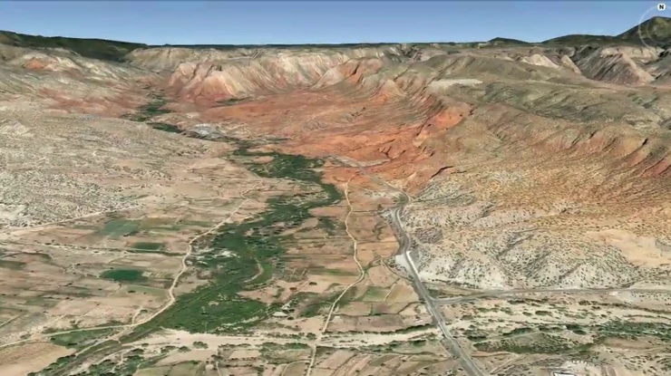
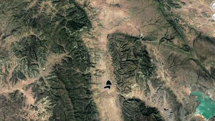
Enhancing your argument with interactive maps.
IMS clients find our complex mapping capabilities to be vital in a myriad of disputes. Using the latest in geographic information system (GIS) technology and a custom presentation tool, the sky is the limit for what we can depict, demonstrate, and manipulate for a target location. Our sophisticated maps can present your geographic data interactively, adding chronological elements to visualize the steps of your story.
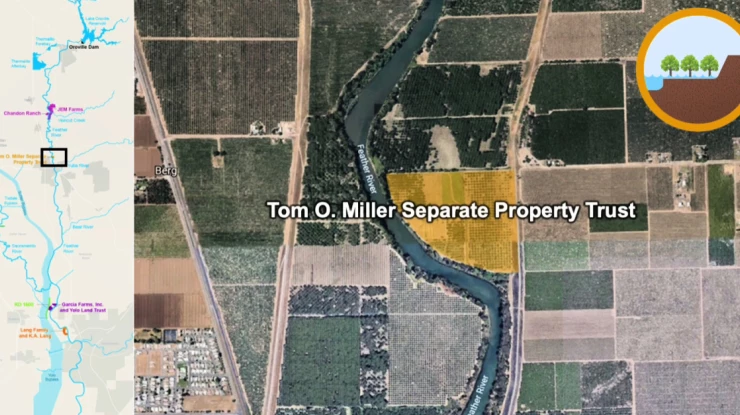
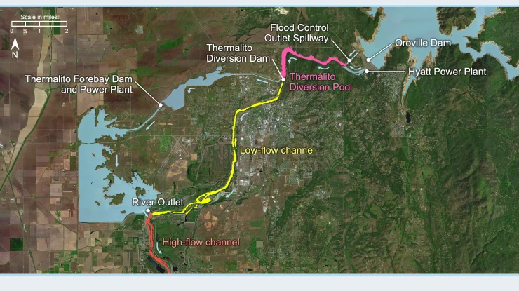
Sometimes the most powerful presentation is a simple one. We can also strategically combine complex data from multiple experts into a clear mapping graphic. This gives your team the advantage of viewing all your data, filtering out unnecessary details, and distinguishing your key locations in a single image or set of slides.
Depend on our visual advocacy experts to develop strategic maps that will both simplify and strengthen your claim.